In 1952, the Regional Highway Planning Committee for Metropolitan Washington commissioned a map of proposed highway improvements in the area. An image of the map is available in the Library of Congress Online Resources:
Proposed Highway Improvements, 1952
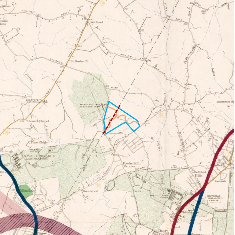
Here is a closeup of the Calverton/Beltsville area, with the Riderwood Village campus highlighted. Click on the image to view it in a new window, where you can scroll and zoom to view areas of the map.